Hiking in Athens? Can it be done? Is it available, you may ask? Well, yes, it is.
You can even do it on your own by following a couple of instructions.
It is a fantastic experience with multiple routes to choose from Mt Parnitha.
Hiking Mount Parnitha Athens Experience
It was one of these days where we were looking where to go for our Sunday and “stretch our legs” a bit.
Winter was closing relatively fast in Athens, and the scenery changes, along with low temperatures.
However, the weather forecast was good for Athens and Mount Parnitha for that weekend.
So, Fotis Godfavor from “Apodrasi sth Fisi” group, (translated to Escape to Nature, in English) contacted us at the right time to his Facebook group.
We joined them and saw a group of like-minded people who are self-organized and depend on the team effort to have a good time on mountain hiking around Athens.
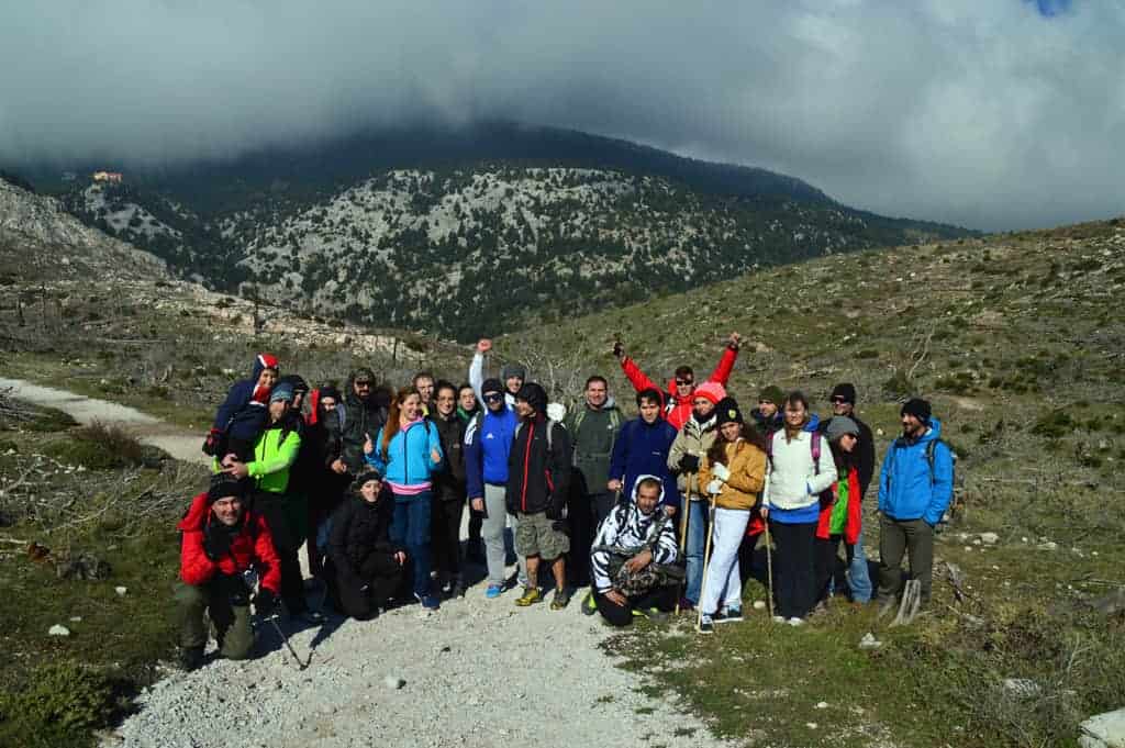
This week it was time for the “Teleferik (Cable car) parking -> Mpafi refuge (one of our favorites) -> Teleferik” route.
The route is very close to Athens (you can be there from 30 mins to 1 hour tops from any location in Athens) and carefully marked.
Hiking in Athens: Parnitha National Park & Fir Forest
Parnitha provides a good number of different hiking routes, with varying levels of difficulty, different amazing views, plus a significant number of rock climbing routes.
It is fantastic to have such an out of the noise place so close.
Parnitha is also considered to be one of the “oxygen providers” of Athens.
Fotis, from the -unofficial- organizing team provided precise instructions for the meeting place and time of departure.
We were there and joined a team of happy mountain clothed hiking individuals of all ages. Some of them were people we have met through other hiking/trekking activities.
Most of the route was very beautiful and serene, changing from steep to smooth in many places.
We had the opportunity to stay at Mpafi refuge for almost 2 hours (as a break) where most of us enjoyed hot chocolate and coffee, chestnut pies, a variety of “mountain cuisine”, the fantastic “rackomelo” of Mpafi, and a breathtaking view.
The total walking length of the route was a good 12 Km, where our way back, tested the physical status of our quadriceps but comforted us with amazing views of Athens while moving down.
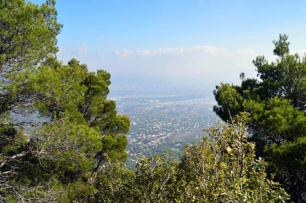
The team got a bit shorter as we were coming back since some grabbed the opportunity to ride the cable car (from Mont Parnes Regency Casino) back to the base.
The aftermath for us? Very pleasant tiredness. The one that says, “I am a bit tired but feel calm and full at the same time from my experience in this amazing nature”.
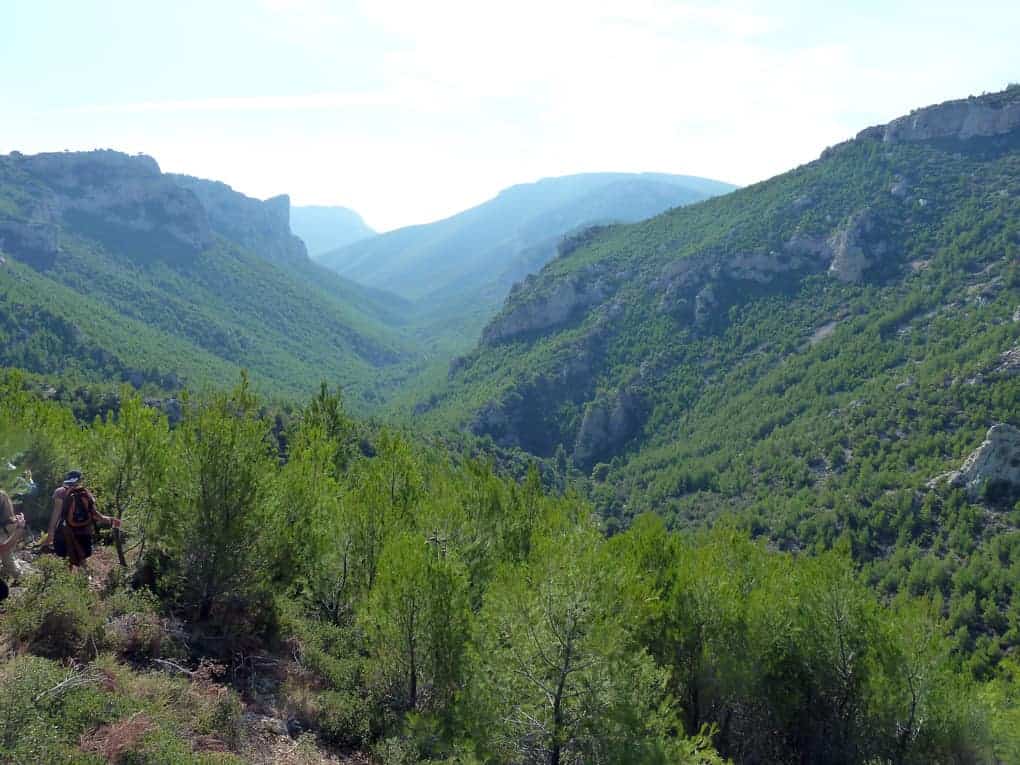
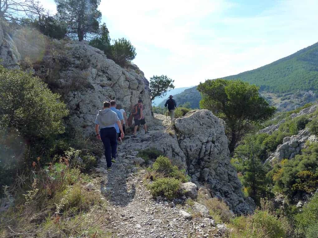
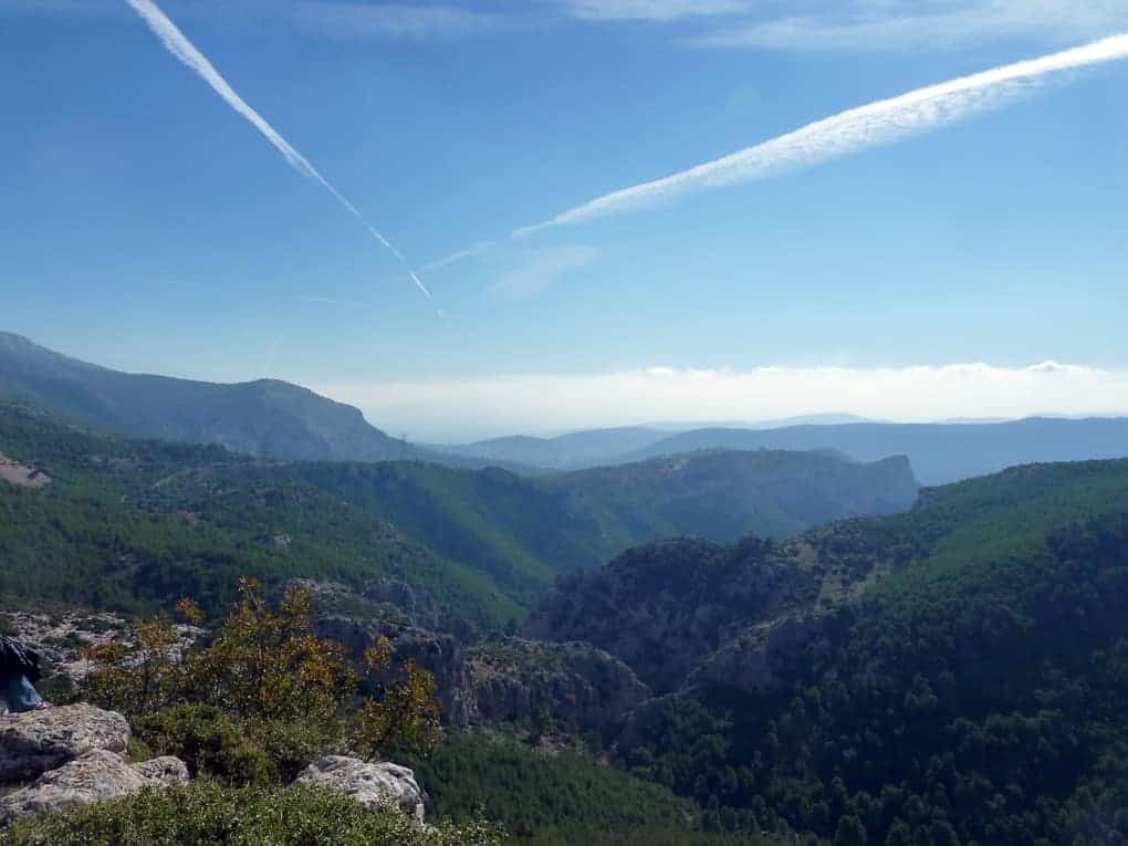
Photos from Hiking Parnitha in Athens, Greece
Check the fantastic pictures from this route.
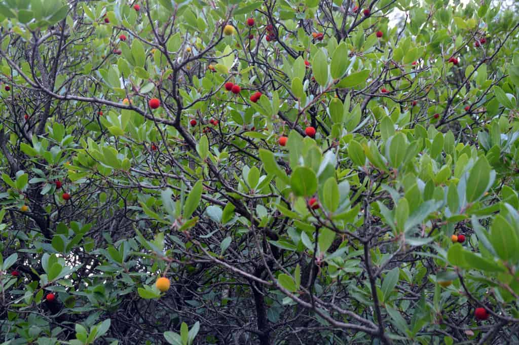
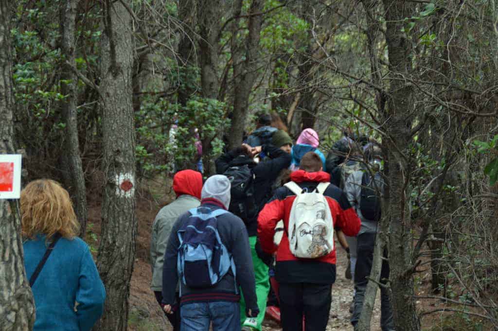
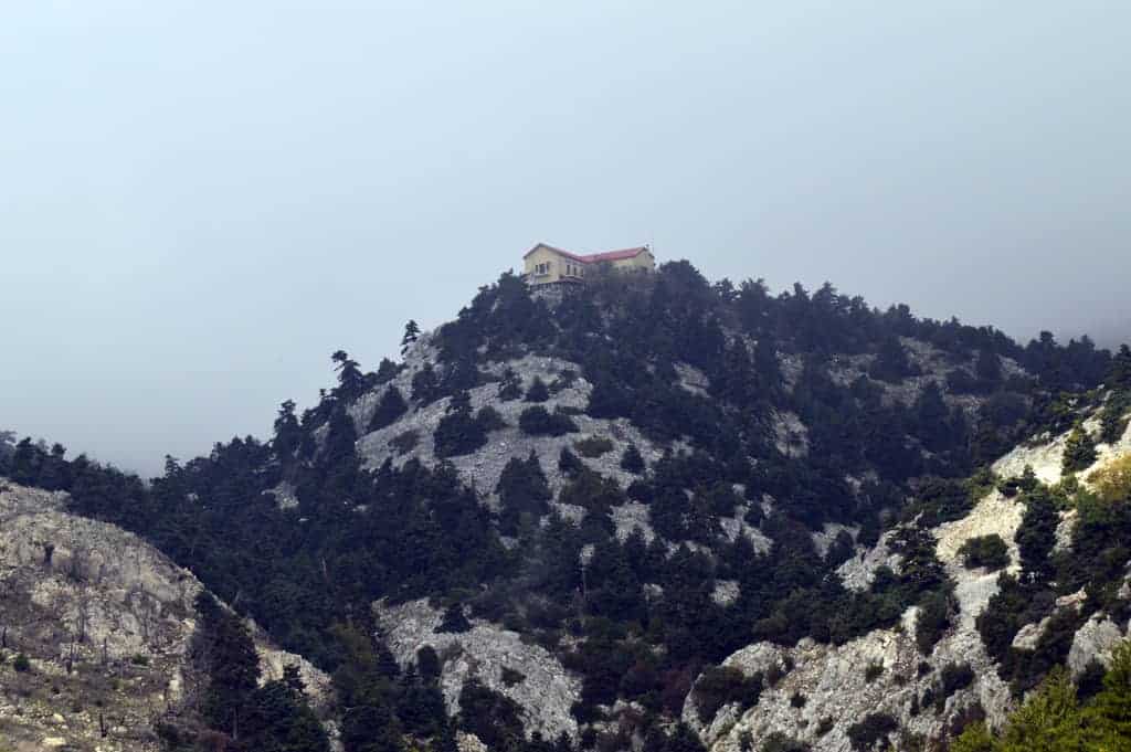
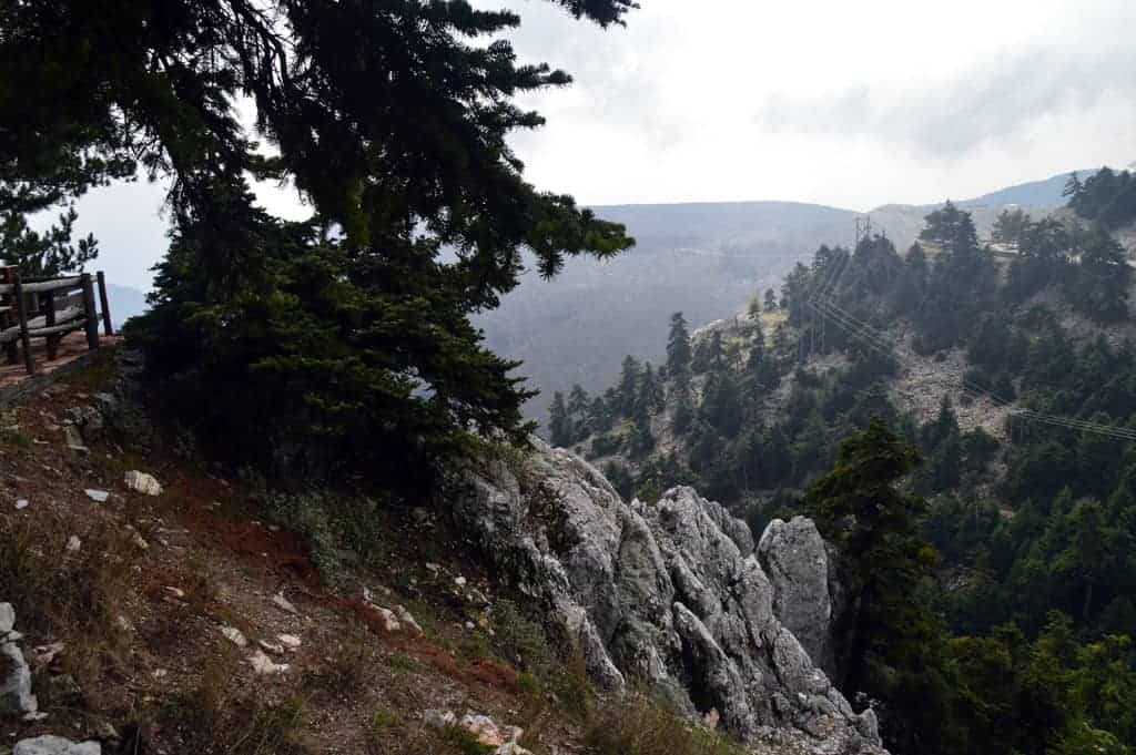
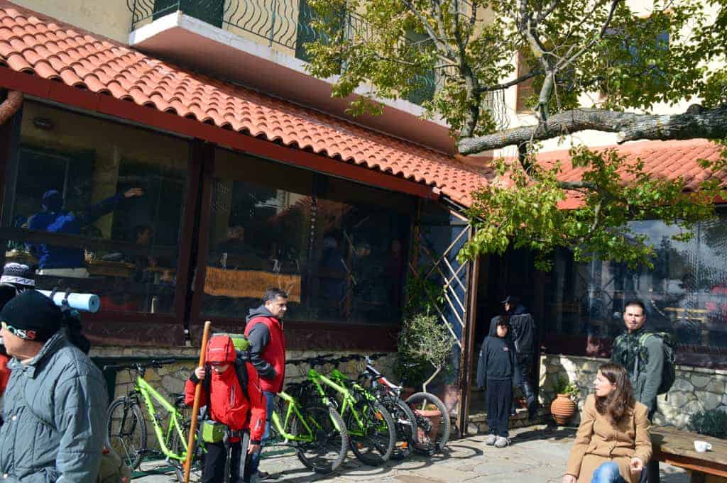
Many travelers to Athens don’t know that there are lots and lots of activities to do around Athens.
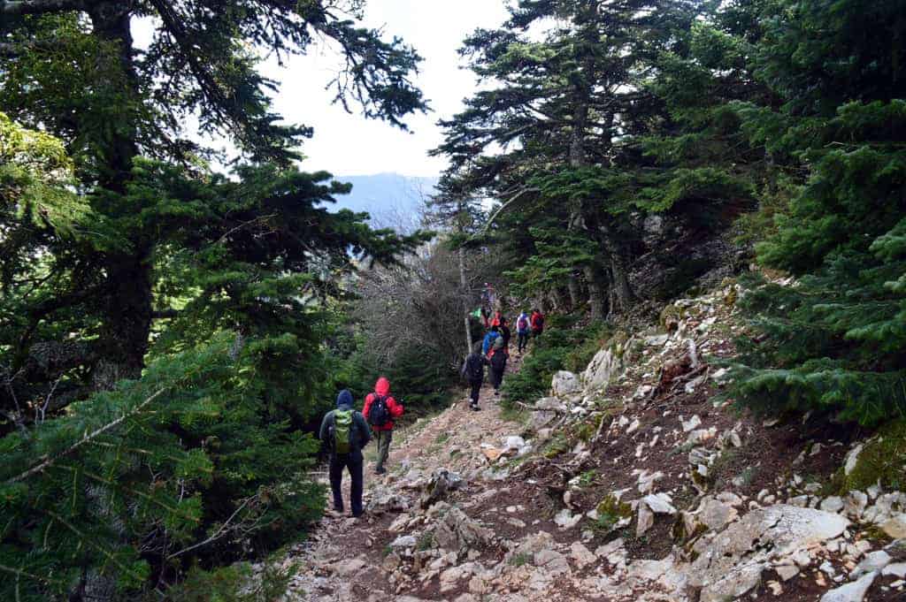
Hiking in Athens is something widespread for Athenians.
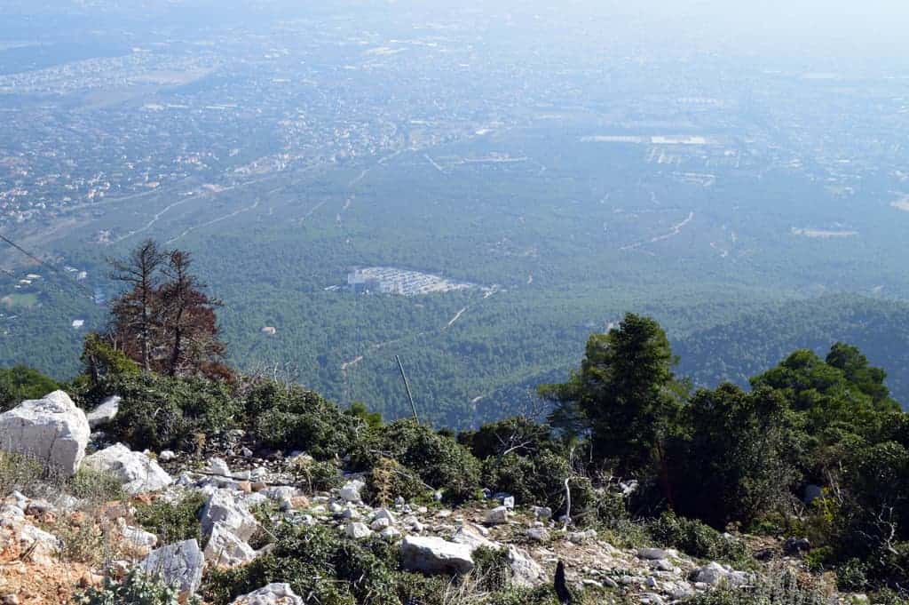
The mountain of Parnitha hosts deer and lots of kinds of wildlife.
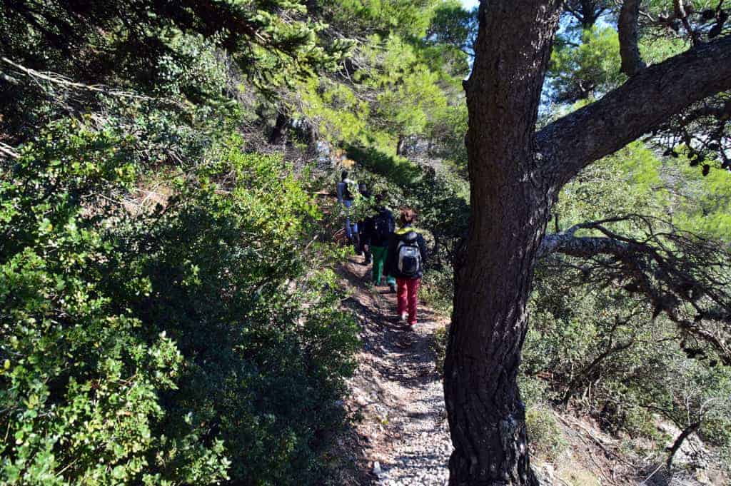
It remains a pleasant break from the buzzing city of Athens, and for those who want to try their luck, the Athens casino is just a few meters away.
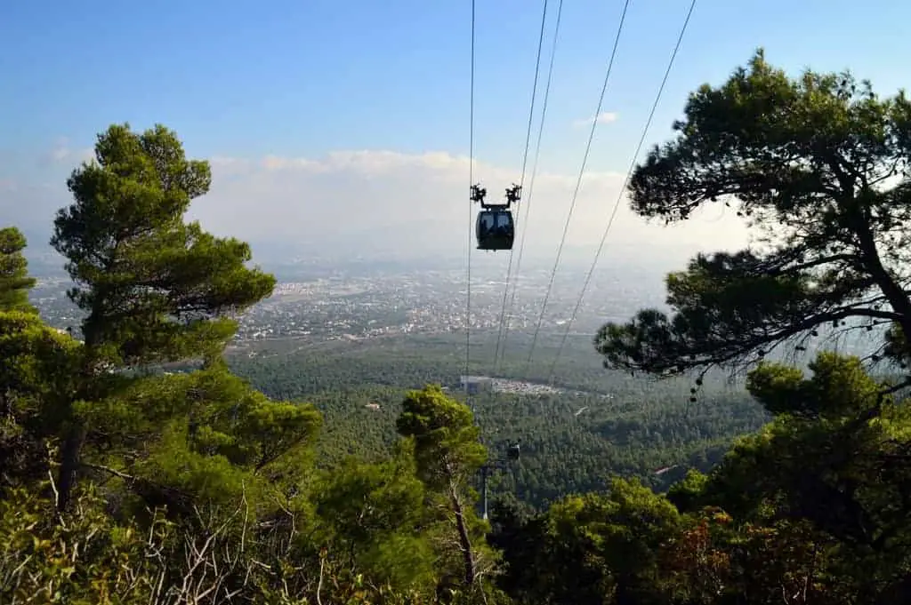
Have fun!
Hiking Parnitha: The Fili Route
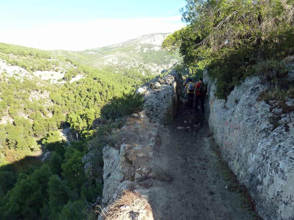
This route, although it is unknown to many people and far from the crowded paths of Parnitha, is exciting.
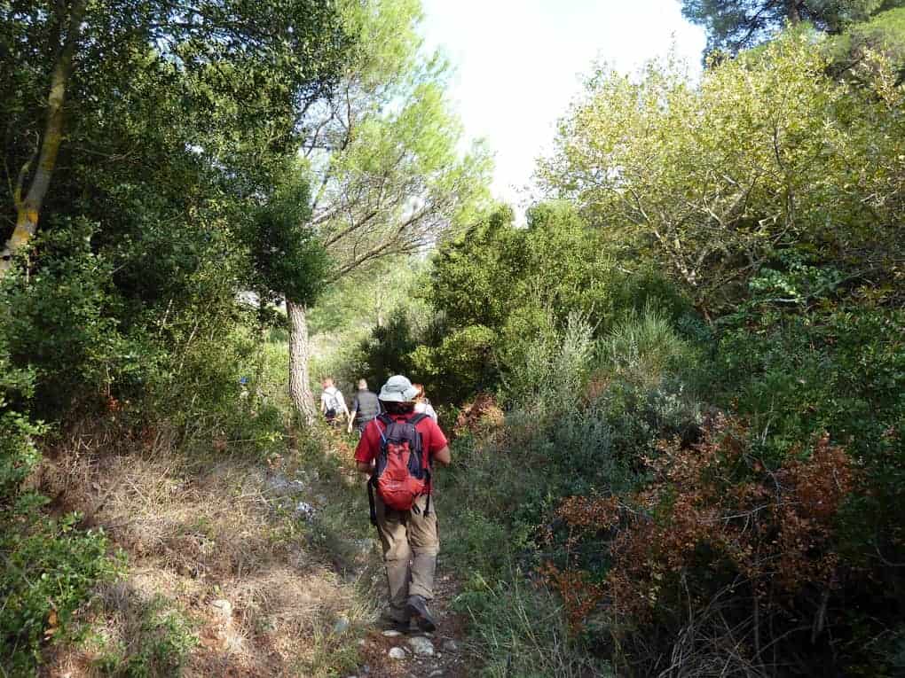
It goes through the stream of Giannoula, the “Theodora’s Rock” (where a fascinating climbing field exists), crosses the Theodora Canyon, and ends up on the hill where the ancient fort of Fili exists.
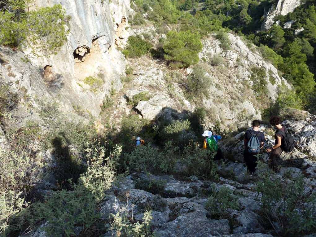
Most of this route is full of well-carved paths and abandoned dirt roads. There are some problematic points – especially in winter- as you need to cross the stream of Giannoula at three different locations.
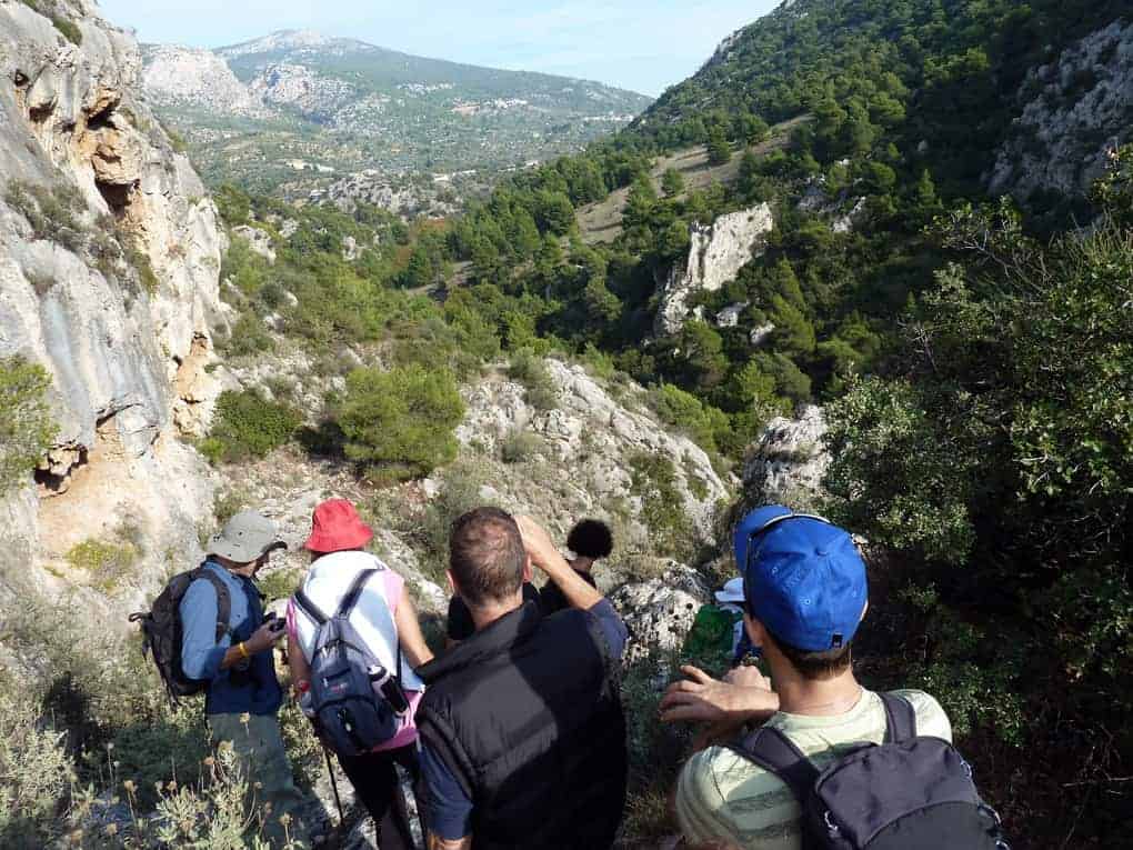
This stream carries lots of water during wintertime.
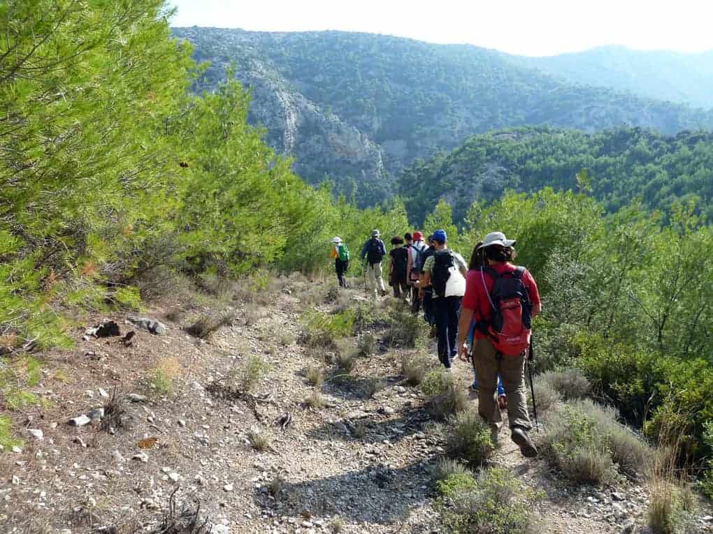
Additionally, the path goes through the riverbed of the Thedoroa stream for almost 1km, where additional painful points exist since you need to climb 2-3m high rocks and the plantation there is also high in many areas.
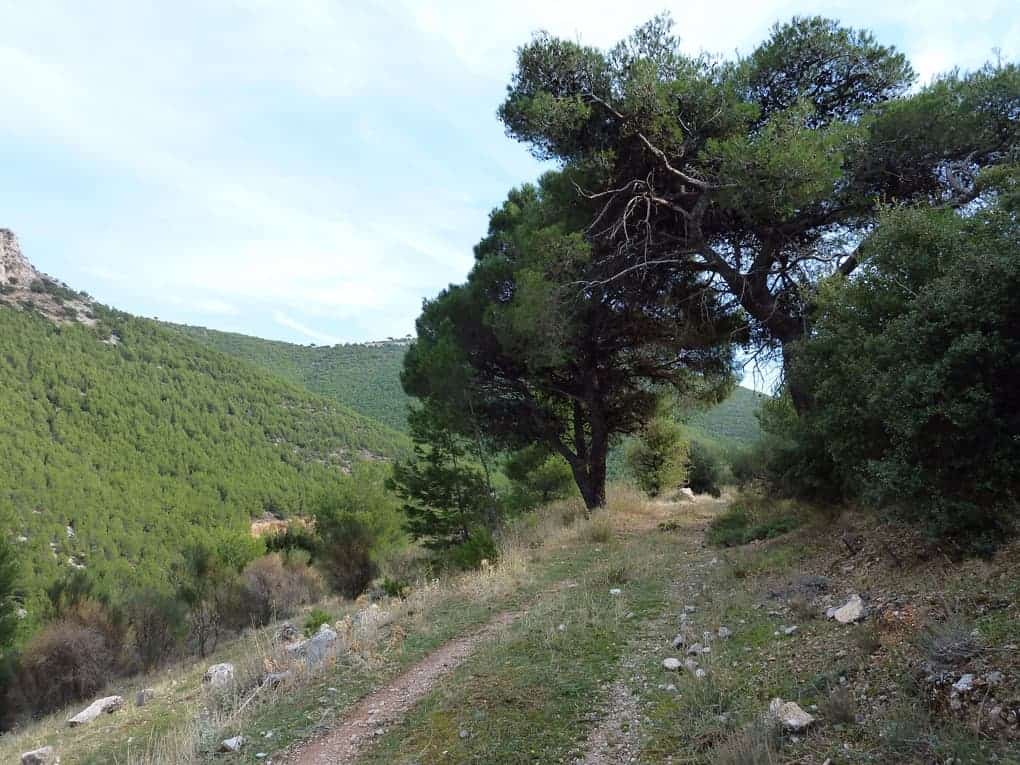
The total length of the route (with the return to Fili) is about 15Km, and the height difference is about 300m.
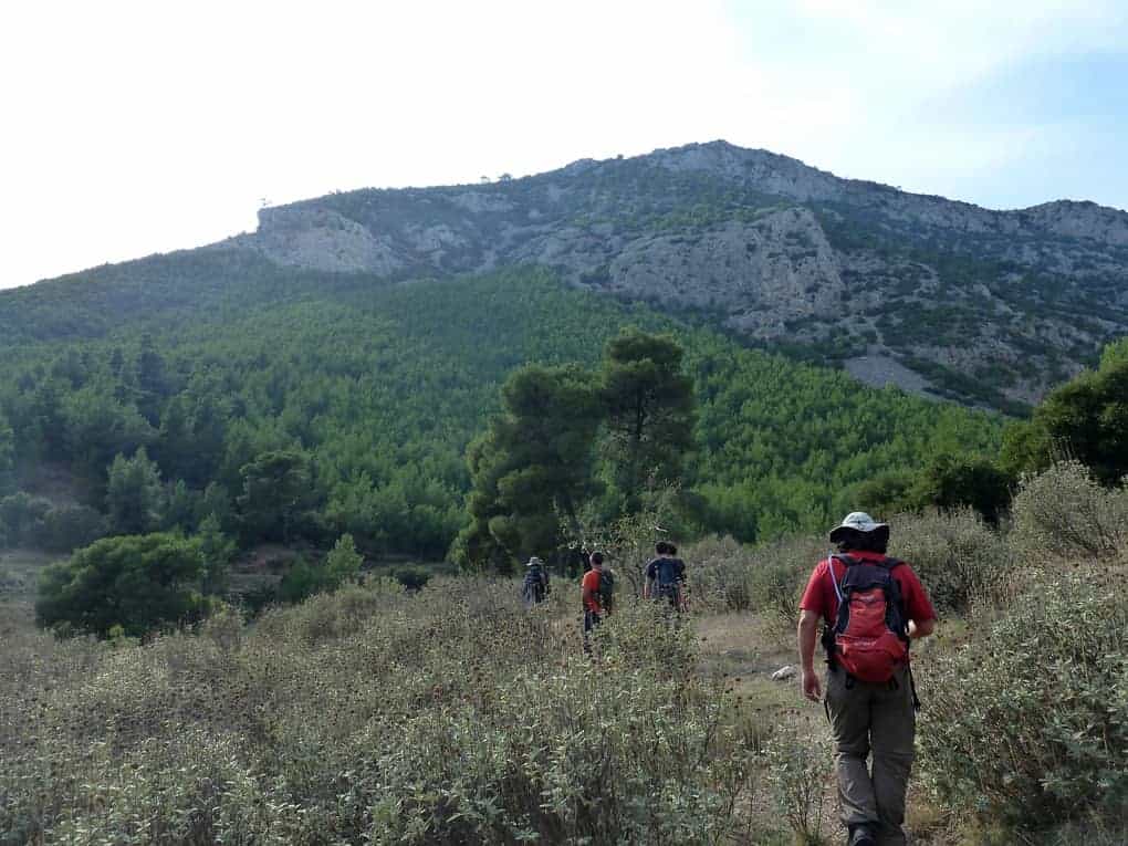
Parnitha Route Description
You start from Filis avenue, around 680m after its crossing with Thrasivoulou str.
- At the distance of 680m from Thrasivoulou str, there is a left turning narrow road which you follow (001) for few meters and end up to a path, which you conform to the right. In the beginning, you go parallel with the asphalt road.
- The path runs west parallel with a little stream. After 590m, it goes through a field (XORAFI).
- After 265m, you find a crossroad where you follow the right and wider branch (DIAKDEX1). The left branch ends up in a clearing a little bit higher.
- 125m after that, you arrive at the streambed of the Giannoula stream (REMA1). You cross the stream very carefully and, if needed, take off your shoes. If it is raining or the current of the stream is strong, we do not cross.
- After crossing the stream, you head to its right for 350mt, thus again, you need to pass it (REMA2).
- After 200m, you reach a point where the stream of Giannoula joints with the stream of Theodora (REMA 3). There you will find some signs on the rocks writing “Aspropyrgos,” “Fili,” and “Fixthi.” There you need to cross the stream once more and follow the path with –almost- north direction, at the left of Theodora stream and in parallel with it. The Theodora stream has far less water than the Giannoula stream.
- The path is very obvious and well carved, and it goes to the right of Theodora stream for 190 m, where it crosses it (REMA4) bypassing at its right side.
- After 700 m, the pass connects with a dirt road that comes from the opposite side of the stream (XOMDEX). You follow the dirt road to the right, still going north.
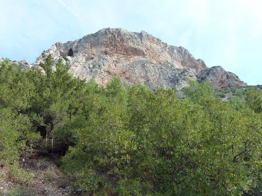
- After a few meters, the dirt road crosses the stream, and it goes to the left of it (REMA5). As you walk on the dirt road, you will see on your left an impressive rock sticking out from the smooth surface of the mountain. This is the well-known “Theodora’s Rock,” which is an excellent climbing field.
- After 800 m, you find a crossroads where a narrower and abandoned dirt road turns to the left, going down towards the stream. There you need to pay a little attention since the beginning of the way is not easy to be found due to plantation (DIAKDEX2).
- This road goes down, turns to make a shape as a “horseshoe” and follows Theodora’s stream northeast. After 350 m, the trail (which seems to be abandoned for decades) crosses the stream and goes to the right of it (REMA6).
- After 70 m, you will find yourself on the base of “Theodora’s Rock,” where some ruined buildings exist altogether. Another ruined building is located on the opposite slope from the Rock (KTISMATA).
- After 310 m, the road goes to the left of the stream.
- After 510 m, the road goes once more at the right of the stream.
- After 300 m, you meet a junction where a small, narrow, and chocked with plantation road goes down to the left and towards the bed of the stream (DIAKARI). This little road is the one to follow. Here you need to pay attention to pass by it. If you pass it, the way will end at about 140 m, and it will be challenging to go down.
- This little road, after 40 m, ends up to a bed stream (KOITH). From this point and for 1000 m, you direct to the riverbed of Theodora canyon.
- This part of the route is quite tricky as the plantation is very thick in many parts of it. There are 5-6 points where you will need to climb some 2-3 m of rock without safety. In most cases, instead of climbing up the rock, you can easily climb by following the dirt paths at the slopes of the canyon.
- A small knife or pruning hook may become very handy. Here also you follow the rules of common sense. If there is too much water or rain, you do not cross the canyon.
- You walk through the canyon for about 1000 m. At the last turn of the canyon, which is the most impressive point, you see the fort of Fili on the top. The rocky slopes of the stream give their place to smoother dirt slopes with little pine trees and bushes. At that point, you come across with a wide path going uphill to the fort (ANIF).
- The path is steep towards the fort. After 300 m, the path turns right abruptly (STROFI), and its direction shifts from north to east.
- After 150 m, you meet a dirt road on the right, which you follow by directing north. This dirt road turns left after 500 m, and drive you to the fort (CASTLE).
- To go down to Fili, you can follow a shorter route. You move on the wide dirt road towards the central asphalt road.
- After 700 m, you end up to the asphalt road, and you follow this going right.
- After 2.25 km, you will find a sign showing the paths of west Parnitha.
- At that point, you find the path that goes down in the direction of approximately 1300.
- After 510 m, you end up to a junction where you turn right.
- After 800 m, the path ends up at the asphalt road and crosses it (DIAXASF). The path continuous a few meters on the left.
- The path gets narrow and goes down, goes through a small stream, and after 300 m cross the Giannoula stream ending up to a resting area with a playground. From that point, you return to Fili by following the ancient aqueduct.
Note that all the paths and dirt roads mentioned here are visible through Google Earth.
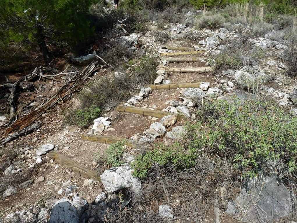
However, to see them, you need to activate the option of Google Earth that shows older photos.
We want to thank Linos Papachristou for the waypoint content.

1 thought on “Mount Parnitha 2 Exclusive Hiking Routes”